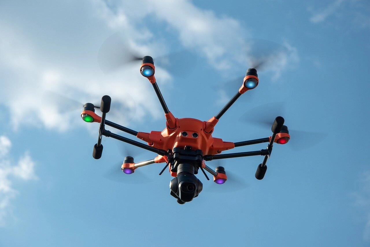
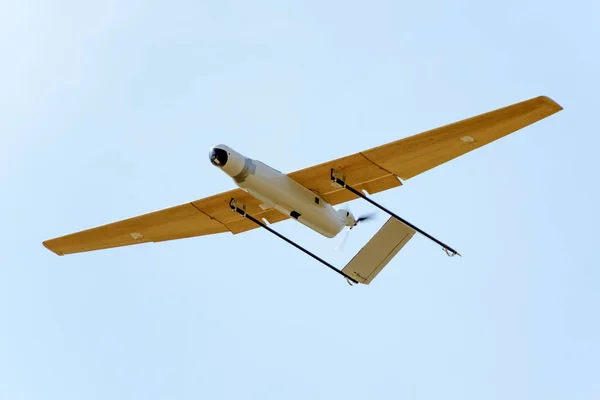
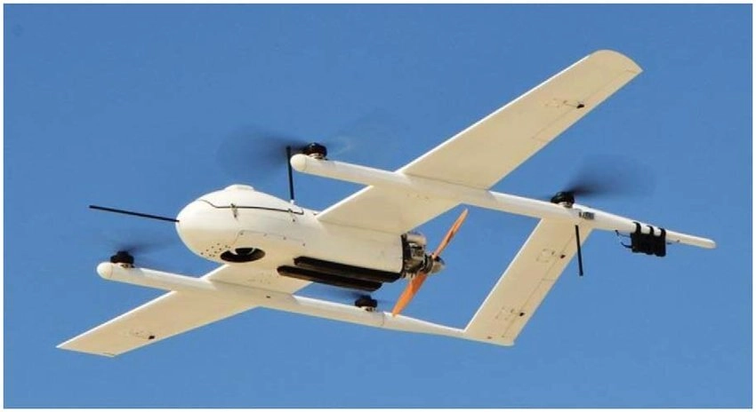
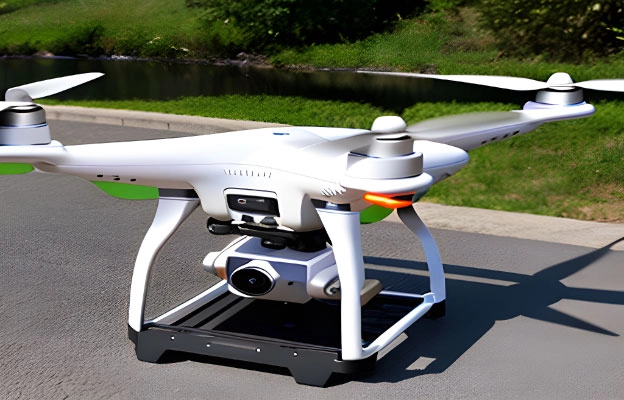
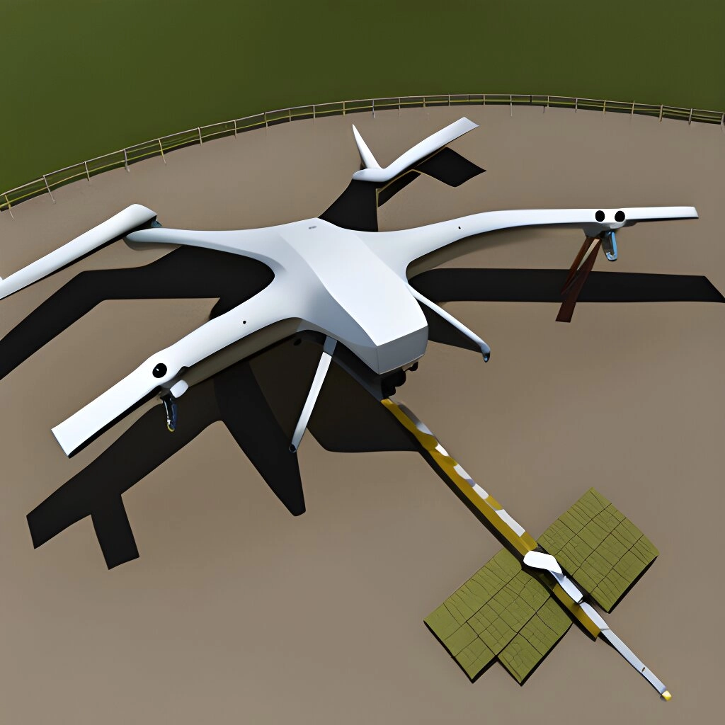
As a trusted drone surveying company, we use drones to capture aerial images, which greatly accelerate and simplify surveys for land management and planning. Data provided by us is used for site scouting, allotment planning, and construction of roads, buildings, and utilities. High-resolution orthophotos enable surveyors to perform highly accurate distance and surface measurements and delineate cadastral property boundaries. Data collected using drones helps to examine the existing social and environmental conditions for land revenue planning.
We provide a broad range of Digital Land Surveying, Drone Mapping Service / aerial Mapping Services from smart city survey, Powerplants, Road, Bridges & Highways survey to Pipeline and canal route studies, Site plan preparations and reservoir studies using drones and DGPS. Our services includes:
- Aerial Photogrammetric Surveys & Mapping
- Smart city survey for planning
- 3D Mapping
- Topographic survey and contouring
- Boundary Surveys
- Digitization of plans and maps
- Road, Bridges, Tunnels & Heritage Building Surveys
The choice of software and drone type depends on the specific requirements of the surveying project, including the size of the area, level of detail needed, desired accuracy, and environmental conditions.

