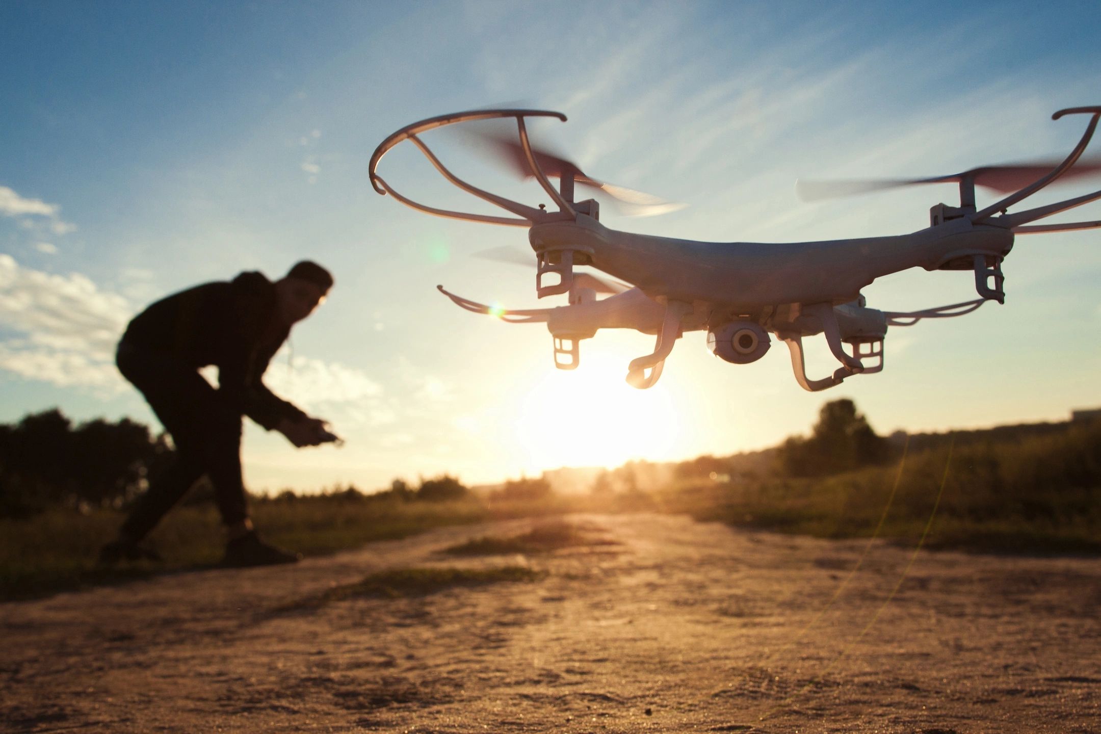
Drones have revolutionized the surveying and mapping industry. Their aerial capabilities allow for efficient, high-resolution data collection over large areas. This guide will explore how drone land surveys work, key drone components, planning best practices, data analysis, deliverables, regulations, and choosing a professional drone mapping provider.
An Introduction to Drone Land Surveying
Traditionally, land surveys are performed by survey crews taking ground-based measurements and sampling. This can be time-consuming for large properties. Drones now allow single pilots to rapidly collect aerial data over hundreds of acres in a fraction of the time.
Drone surveying involves using a drone aircraft equipped with sensors to autonomously scan and photograph the terrain. This data is processed into detailed maps, 3D models, vegetation indexes, and rich analytical reports. Drone surveying is ideal for topographic mapping, construction site analysis, precision agriculture, and surveying inaccessible areas.
Compared to ground crews, drone surveys are safer, faster, more affordable, and collect higher-resolution data over large areas. Keep reading to learn how you can use this revolutionary technology for your land analysis needs.
How Drone Land Surveys Work

Drone land surveys incorporate multi-sensory drones, programmed flight routing, automated data capture, and photogrammetry processing to model land attributes. Here are the key steps:
- The pilot plans an aerial route covering the survey area using provided mapping software.
- The drone autonomously scans the area along the route using embedded sensors like LiDAR, cameras, and multi-spectral imagers.
- Hundreds to thousands of images and elevation measurements are captured.
- Photogrammetry software stitches the images and data into 3D models, point clouds, and orthomosaic maps.
- Analysts generate insights, measurements, 3D files, vegetation indexes, volume calculations, and other deliverables.
This enables highly accurate modeling and analysis of topography, drainage, vegetation health, erosion, construction progress, and more.
Key Components of a Drone Surveying System
A complete drone surveying setup incorporates
- Drone aircraft – Fixed-wing or multi-rotor drones with swappable payloads.
- Sensors – LiDAR, high-res RGB cameras, multispectral and thermal imagers tailored to the survey goals.
- Ground control points – Known GPS markers that improve model accuracy.
- Photogrammetry software – Processes imagery into maps, 3D models, point clouds, etc.
- Mapping apps – For flight planning, automation, and integrating data streams.
- Data analysis software – Extracts insights from drone data.
- Pilot – FAA certified remote pilot managing the drone system.
Types of Drones Used for Land Surveys
There are two main drone types used:
- Fixed-wing drones excel at covering very large areas rapidly with 60-120 minutes of flight time. However, they lack the vertical takeoff and landing capabilities of multi-rotor drones.
- Multi-rotor drones are the most common since they can hover and make precise vertical movements. Flight time is typically 15-30 minutes. Rotors provide stability in windy conditions.
Most surveying firms use a mix of fixed-wing for wide surveys and multi-rotor drones for detailed inspections, 3D modeling, and working in confined spaces.
Drone Sensors for Collecting Land Data
Drone sensors tailored to the job provide detailed site data:
- RGB cameras – Capture highly detailed visual photos and video. Useful for photogrammetry.
- Multispectral sensors – Measure light outside the visible spectrum to derive insights like crop stress analysis.
- LiDAR sensors – Emit rapid laser pulses to precisely model terrain and object elevations and shapes in 3D. Essential for making topographic base maps.
- Thermal sensors – Detect temperature variations invisible to the human eye, helping identify moisture issues.
Best Practices for Drone Survey Planning
Meticulous planning ensures you collect the required imagery and data efficiently:
- Clearly delineate the survey area scope and goals.
- Map out flight routes to fully cover the area with optimal image overlap for photogrammetry.
- Select sensors that align with the task like RGB cameras for 3D modeling.
- Secure any required permits and landowner permissions.
- Schedule on days with favorable weather conditions and visibility.
Processing Drone Survey Data
After drone data collection, processing steps include:
- Photogrammetry to stitch overlapping drone photos into high-resolution 2D maps and 3D digital surface models.
- Analysis software to generate vegetation health maps, elevation contours, and insights from the source data.
- LiDAR processing to filter drone LiDAR scans into detailed elevation point clouds.
- Integration with existing site data like past surveys and satellite imagery for comparisons.
Drone Survey Deliverables and Applications
Drone surveys generate valuable mapping and modeling deliverables:
- Orthomosaic aerial maps – Accurate 2D birds-eye maps in image or digital format for GIS integration.
- 3D digital surface models – Detailed elevation models of the surveyed terrain and objects like buildings and trees.
- Volumetric measurements – Precise cut and fill calculations for excavations and stockpiles.
- NDVI crop health maps – Vegetation index maps highlighting crop health variations for precision agriculture.
- Erosion analysis – Models showing high-risk areas for erosion and drainage issues.
- Site planning models – 3D site models for planning construction sites, mines, land developments, and infrastructure projects.
Regulations for Commercial Drone Land Surveying
For aerial surveys, FAA regulations (Part 107) require:
- Remote pilot certification for all commercial drone pilots.
- Pre-flight inspections and permissions.
- Respecting other airspace restrictions.
Reputable firms always comply with regulations to ensure safe, legal, and compliant drone operations.
How to Choose a Professional Drone Survey Provider
When selecting a drone survey firm, consider:
- Pricing – Compare costs for specific service packages.
- Data accuracy guarantees – Surveys within 3 cm of true ground accuracy are ideal.
- Speed – How quickly can they complete surveys?
- Pilot qualifications – Seek Part 107 certified and experienced pilots.
- Equipment – Do they use the latest drones and sensors?
- Deliverables – Will you get all required outputs like 3D models?
- Reputation – Check reviews and speak to past clients.
Conclusion
Drone land surveying enables rapid, frequent, low-cost, and highly accurate aerial data capture. When performed by qualified professionals, this technology provides immense value for monitoring and optimizing land use. Carefully evaluate providers to find an expert service matching your particular survey and budget needs. The power of aerial data unlocks new potential for practically any site.
